


Getting off the road with Viewranger App
For on road navigation there is a plethora of great turn-by-turn GPS navigation apps available for both iPhone and Samsung Galaxy. These include but not limited to:
- Google Maps
- Waze
- MapQuest
- Maps.Me
- Scout GPS
- InRoute Route Planner
- Apple Maps
- MapFactor
Of course the most accessible and free to use of all the GPS navigation apps is Google Maps which comes pre-installed on most smartphones and features a decent turn-by-turn driving mode with live traffic updates. The vast majority of the other apps include a free to use GPS navigation mode that has limited features and you can pay a reasonable payment to upgrade to the full package.

However when it comes to off-road or trail riding apps it has been hit and miss until recently. There are definitely some useful GPX reader apps available such as:
- GPX Viewer
- Tracklia
- Touch Trails
- Rambler GPX
- GPX Nav
These apps are mainly limited in scope however to simply displaying a pre-recorded GPX file on a basic map and provide no community database or track publishing or offline map ability.
With riding Off-Road on such tracks as BOATS (Byways-open-to-all-access) or green lanes they tend to be in remote moorland or forest areas and have no cellular coverage. In this scenario Off-line access to the map data is paramount as we need for the maps to be highly accurate and depict all geological information such as elevation.
That is where Ordinance Survey maps come in. These are highly accurate and local maps of areas of the UK that feature data extremely useful to hikers, trekkers and of course, motorcyclists! A huge issue with trail riding in the UK is legality and whether or not a track has legal access for motorcycles. Unbelievably motorcycles have access to less than 1 percent of the total byways left in the UK! So we must be very careful to stay legal.
To overcome this issue Ordnance Survey maps define the specific highway or byway with a coloured legend that clearly defines the legal and illegal tracks.
Ordnance Survey maps up until recently could only be bought in Paper form and due to their ability to only represent small local areas there are literally thousands of them that cover the UK. Buying all those maps would become extremely expensive not to mention the space needed to store them!
Viewranger App
The great thing about Viewranger App is it’s built in access to the full Ordnance or OS map database! From the App you can simply purchase and download the relevant map for the area you wish to trail ride. You can then easily create your own offline GPX track files or find routes in your area created by other users to follow.

Also due to its built in community features you can easily find other tracks as well as share your tracks publicly.
The Viewranger App looks great and is easy to use and makes following your GPX tracks a breeze with it’s bright and sharp display.
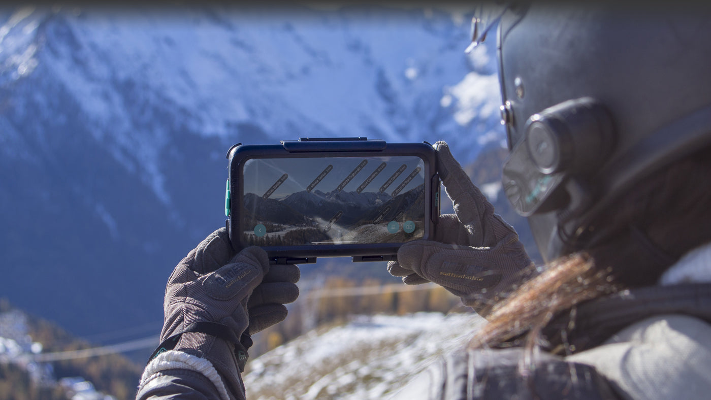
Viewranger Skyline
Although created as an extra feature in the Viewranger App for a bit of fun, the Viewranger skyline feature is so good it’s worth downloading the app just for it!
Viewranger Skyline allows you to use your smartphones built in Camera and GPS sensors to create a live view of the mountains around you complete with their respective names and altitudes. It’s not only really fun and informative but it also has a real world use when navigating through mountains where it can be very easy to get similar peaks mixed up when comparing with your map.
Viewranger App is not just for the UK though and you can access, purchase and download OS maps and OS style maps for many parts of the World so it's perfect for that longer trip or round the world adventure!
It is available on both App Store for iPhone and Google Play Store for all Android based phones including Samsung Galaxy models.
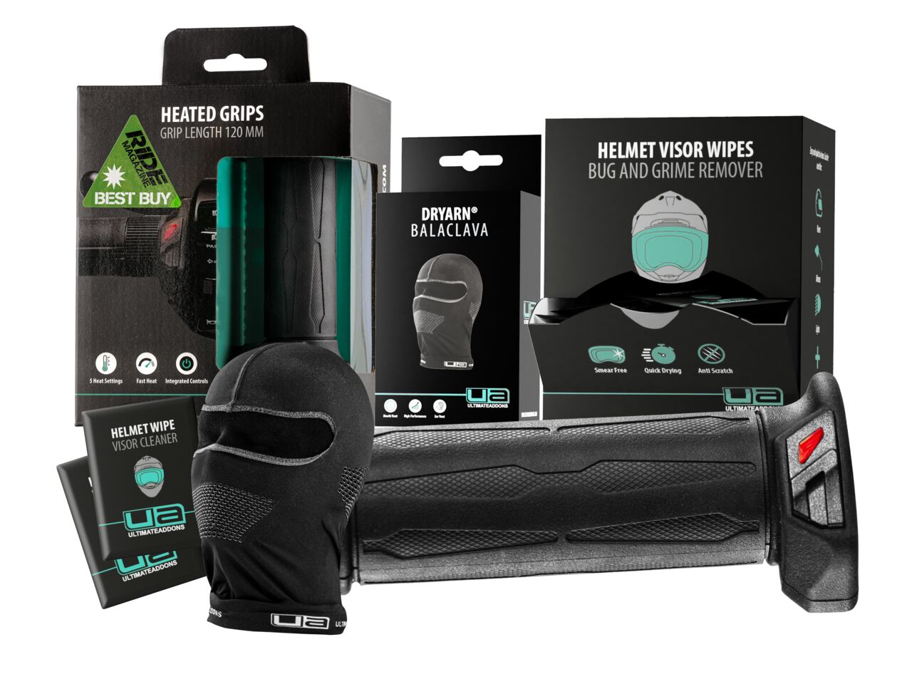
Ultimateaddons weatherproof smartphone cases
Trail riding and green laning is an outdoors experience and with that comes bad weather such as rain and snow not to mention a lot of mud,grit and puddles!
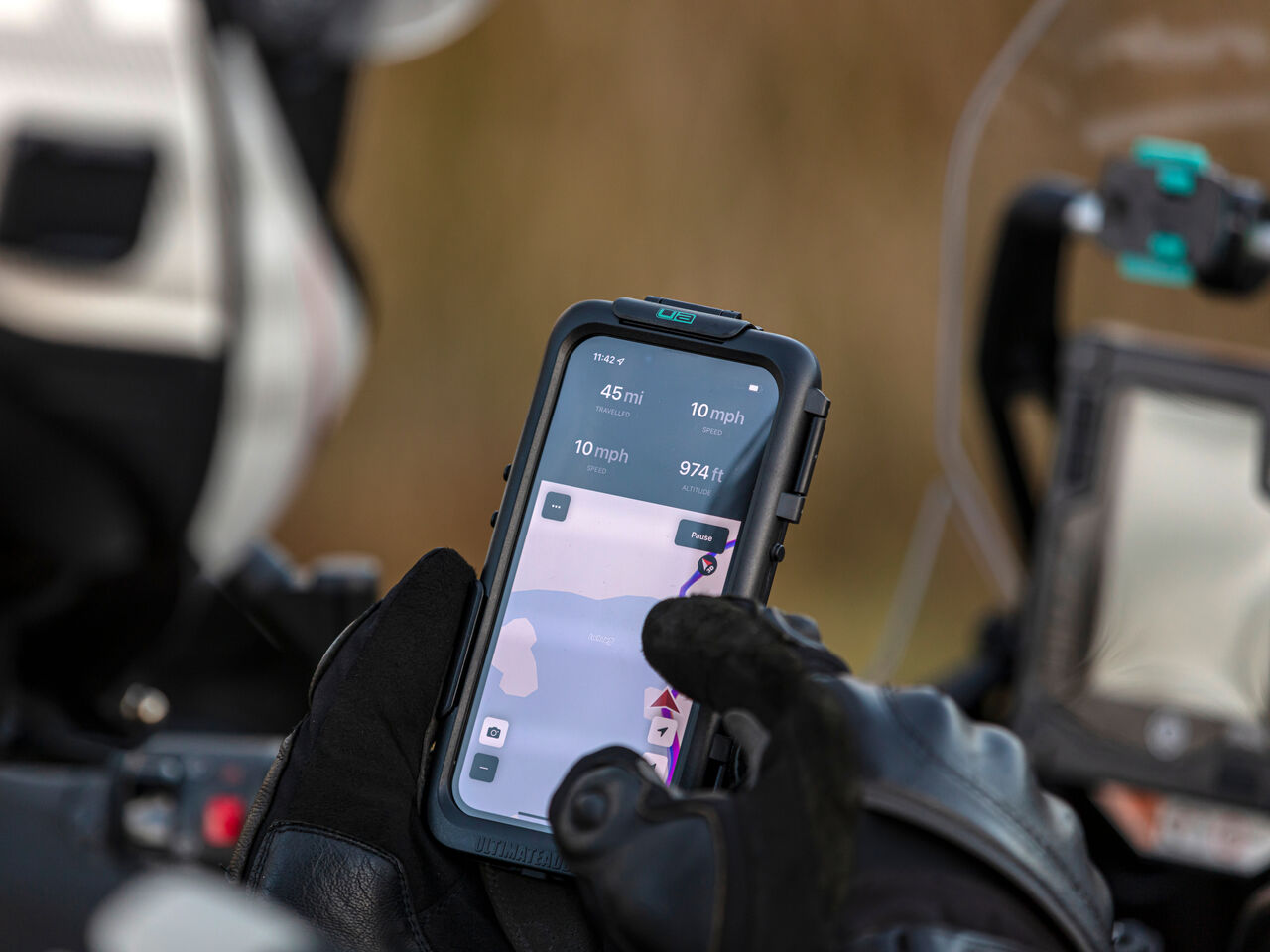
Viewranger App is only available on smartphones such as the iPhone 11 Pro or Samsung Galaxy S10 and using your smartphone naked in these conditions is a recipe for a damaged or lost phone.
That's why our rugged weather proof smartphone cases for iPhone and Samsung Galaxy are the perfect match for using the Viewranger App whether you are up the Dales on a byway or crossing the Steppes of Kazakhstan!
All of our cases are fully IPX5 rated for dust and water ingress as well as featuring a specially designed elastomeric shock absorber to protect your expensive phone camera.

If you are interested in our Waterproof, Dustproof and Shockproof motorcycle smartphone cases for both Samsung Galaxy and Apple iPhone please follow the links below to your specific smartphone model.
Leave a comment
Comments will be approved before showing up.